Simulated package delivery
A drone descends to a residential drop-off in TSU’s IRIS simulator, one of the scenarios behind the IRIS D³ drone-delivery dataset.
TSU · Nashville, TN
Physics-based simulation of urban air mobility environments and resilient emergency landing for eVTOL aircraft and drones.
Tennessee State University’s team works in the Intelligent Tactical Mobility Robotics Laboratory, directed by Amir Shirkhodaie. The team develops IRIS, a physics-based simulation environment for urban air mobility and drone delivery, and uses it to study autonomous selection of emergency safe landing zones when an aircraft faces sensing failures or cyberattacks, combining computer vision, multi-sensor fusion, and hypothesis-driven decision making. It also generates annotated synthetic datasets for drone delivery, collaborates with GWU and UC Irvine, and runs outreach programs for students.
Research thrusts
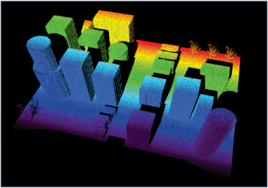
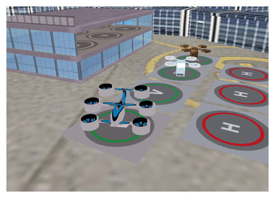
Physics-based downtown, suburban, vertiport, and airport scenes with eVTOL and drone models and simulated cameras, LiDAR, GPS, and inertial sensors under degraded weather and lighting.
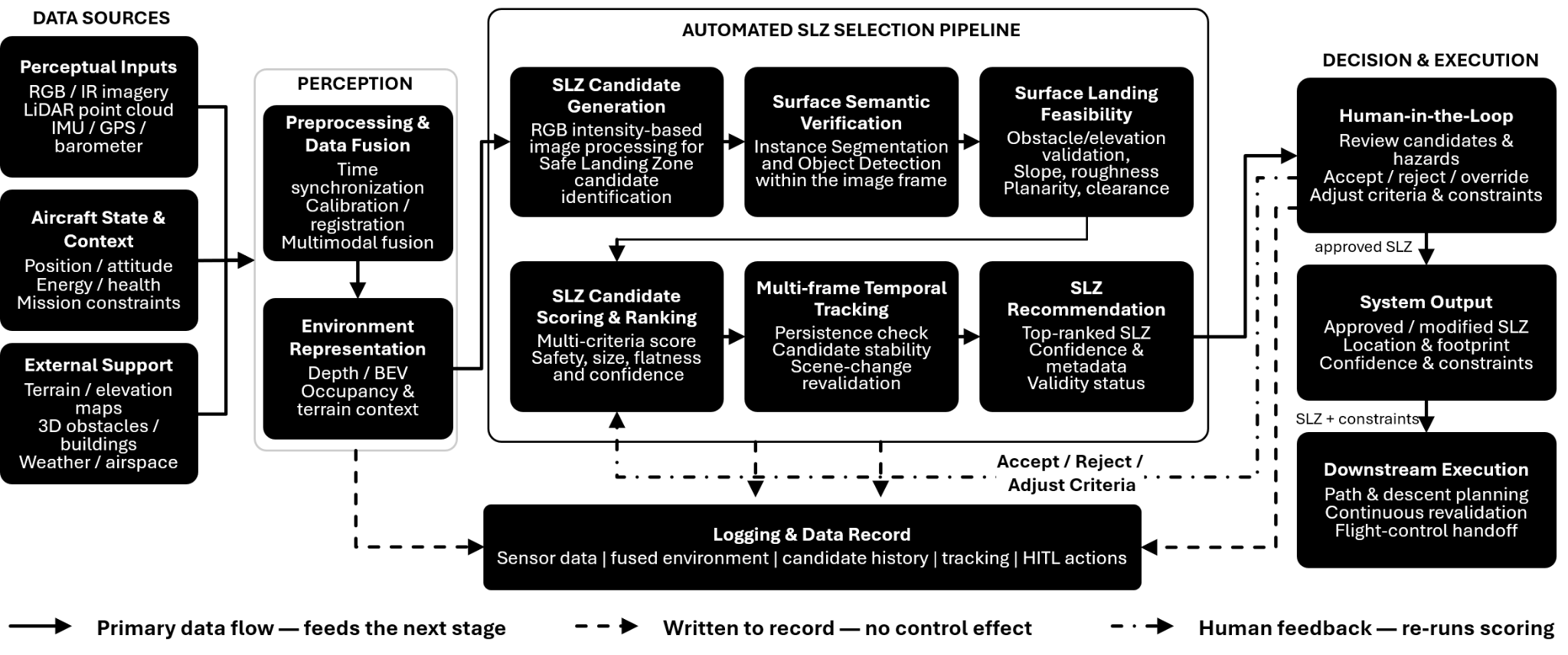
A multi-hypothesis framework that generates, validates, ranks, and tracks landing candidates using imagery and LiDAR, published at SPIE Defense + Security 2026.
Dozens of delivery scenarios and more than 20,000 synthetic RGB images with matching LiDAR point clouds, from clean pads to intrusions and degraded visibility.
Figures
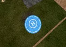 Clean pad
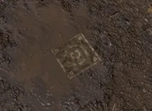 Degraded pad
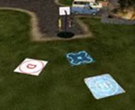 Multiple pads
 Invalid drop zone
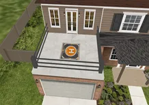 Patio / balcony
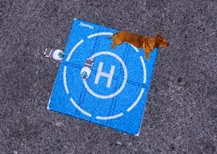 Intrusion
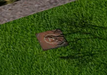 Shadow / occlusion
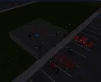 Degraded visibility
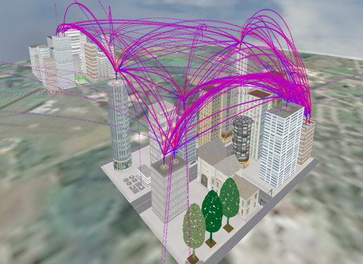
Demos
A drone descends to a residential drop-off in TSU’s IRIS simulator, one of the scenarios behind the IRIS D³ drone-delivery dataset.
A tour of TSU’s IRIS physics-based simulation, with downtown, suburban, and airport scenes and several eVTOL aircraft flying coordinated routes.
IRIS scenes rendered as RGB, thermal-infrared, night-vision, and LiDAR imagery, and under fog and snow. These are the conditions our perception methods are tested in.
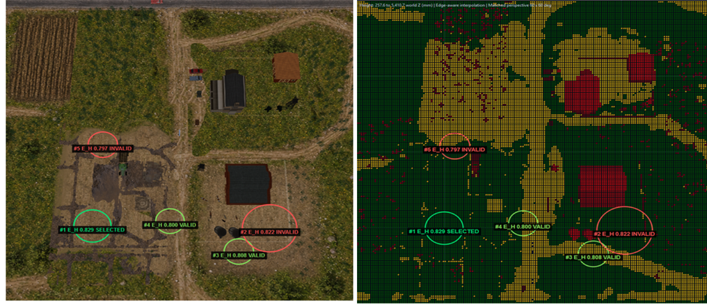
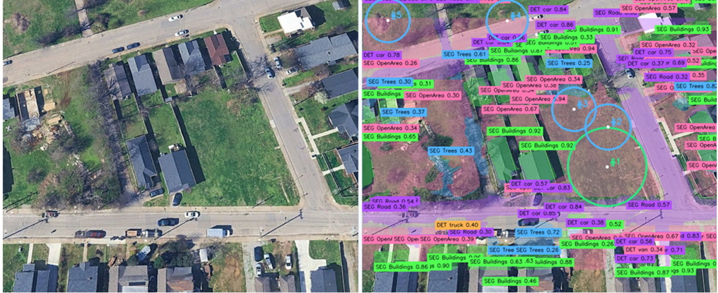
Candidate safe landing zones are detected in aerial imagery and compared by size and clearance before one is selected.
TSU’s emergency landing system locks onto the selected landing zone and keeps it centered as the aircraft descends, with live tracking plots.
Use cases
Making camera- and AI-based package delivery and precision landing trustworthy, even when the scene below can be manipulated.
Physical adversarial objects, tampered landing markers, and injected visual text that mislead onboard perception.
Selecting and tracking a safe landing zone with onboard sensing when an air taxi is impaired by a cyber-physical attack.
Attacks that degrade navigation or flight capability over a dense urban environment.
People
Publications
2 published or accepted papers
Proc. SPIE 14047, Unmanned Systems Technology XXVIII, 2026
MS thesis, Tennessee State University, 2025